The Heights of Pont-Rémy

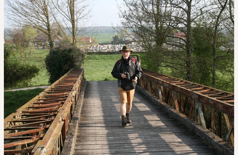
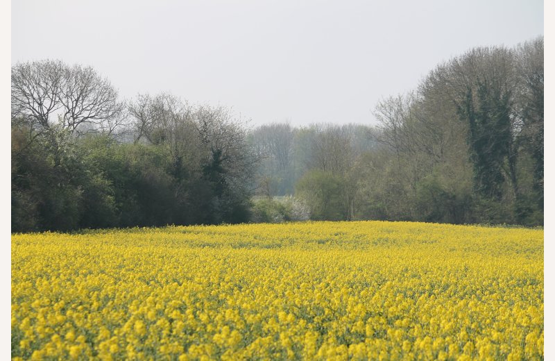
Follow alogside the River Somme and its ponds, then climb towards the fields and woods and head toward Pont-Remy, well named with its many bridges or "ponts" in French.
Contact
The Heights of Pont-Rémy
The canal Mooring, 250m from the church at Pont-Rémy on the tow-path (car park at the church)
80635 PONT-REMY
The offer's details
Hiking area :
Somme Bay and Picardy coastSomme Valley
Somme Bay and Picardy coastSomme Valley
Distance : 9,5 km
Hiking time
On foot : 03:20
By mountain bike : 01:00
On foot : 03:20
By mountain bike : 01:00
Level of the hike
On foot : medium
By mountain bike : very easy to easy
On foot : medium
By mountain bike : very easy to easy
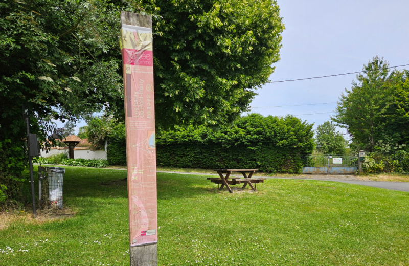
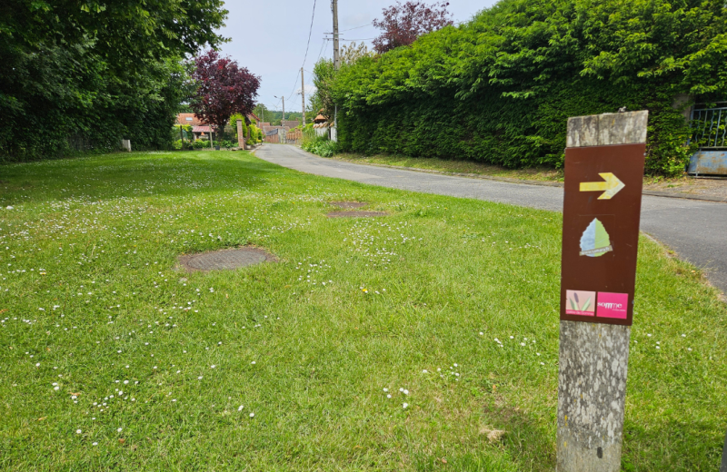
Markings : Yellow sign posts
Departure - Arrival : PONT-REMY / PONT-REMY
Documents / Downloads


(GPX) Trace GPX - Les Hauts de Pont-Rémy : Les-hauts-de-pont-remy.gpx.gpx
(KML) Trace KML - Les Hauts de Pont-Rémy : Les-hauts-de-pont-remy.kml.kml
Reference map IGN : 2207O